Ideal Location
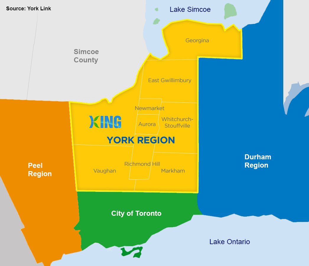
King Township is the largest municipality in York Region, with the smallest population. Located 50 minutes north of downtown Toronto and adjacent to Vaughan, Richmond Hill, Aurora and Newmarket, King Township has ready access to over 6 million consumers and 200,000 businesses, including 40% of the head offices of Canada’s top 500 companies.
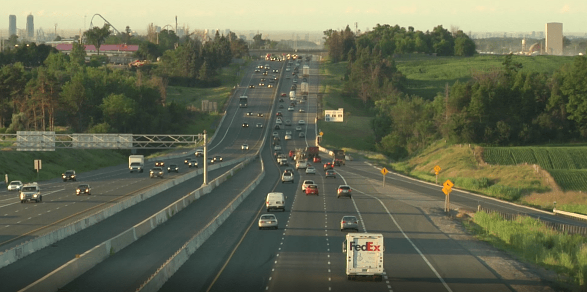
Connect by Highway, Air & Public Transportation
King is bisected by Highway 400, offering exceptional highway travel and quick access to the GTA, Toronto Pearson Airport and the US border. Highway 9 runs through the north end of the Township, and Highway 27 runs through the west portion, making routes through King popular with commuters, cottagers and skiers.
GO Transit provides weekday bus service through King, as well as soon to be all-day rail service from the King City GO Station, with connections to Toronto and Barrie.
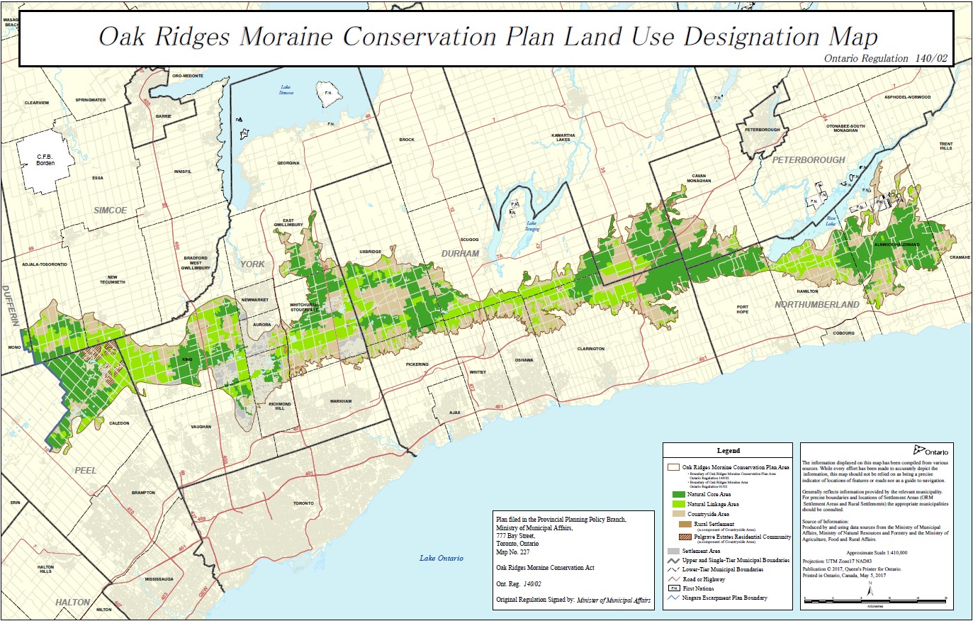
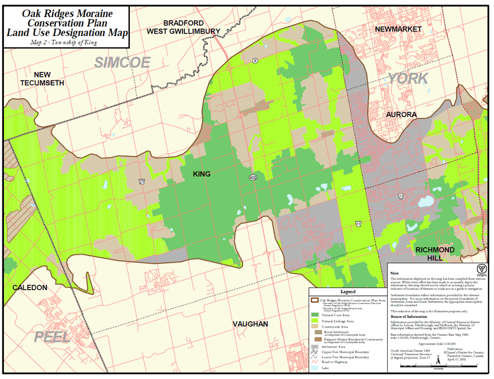
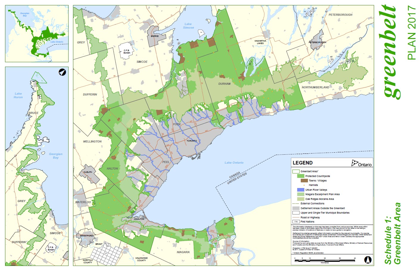
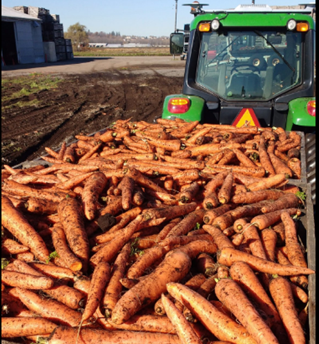
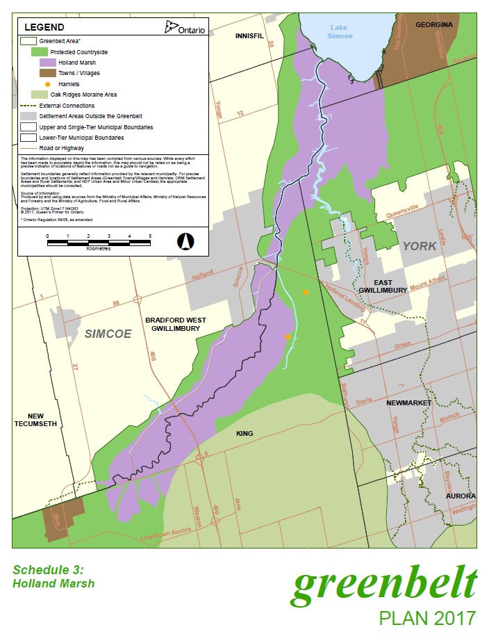
Understand the Lay of the Land
33% of King Township is on the Greenbelt, and 66% is on the Oak Ridges Moraine. Almost 25% of King Township’s total geographical area is 8,000 hectares of forested lands, over 20% of all forest cover in York Region.
The Greenbelt and the Oak Ridges Moraine contribute to King’s exceptional quality of life, and are important factors in understanding land use in King. The Planning Department implements the policy direction provided by the Ontario Government's Oak Ridges Moraine Conservation Plan, Greenbelt Plan, and Places to Grow Plan, and the Region of York Official Plan.
The Township of King maintains a significant amount of GIS (Geographic Information Systems) data that is used for planning, development, maintenance, tracking and inventory activities. Access to GIS data is made available through the Township's maps.